Remember when you were a kid pedaling your favorite two-wheeler through the neighborhood? Recall the fun, the freedom, and the feel of the wind blowing through your hair as you bicycled about, soaking in the summertime. We may not be able to go back to the carefree days of our youth, but we can get back on the bicycle, taking our friends and families exploring on Virginia’s bike trails, making new memories to last a lifetime.
And when you think of family bicycle rides in Virginia, dismiss that image of fighting your way along a slender passage of a busy street, with cars whizzing by a foot from your tires. Instead, visualize this: pleasant paved pathways free of autos, trails designed for human-powered travel, places like the Virginia Capital Trail, where you and your loved ones roll in tandem through the James River Valley. Or picture the pea-gravel New River Trail, a converted railroad line now snaking through eye-appealing countryside. Imagine pedaling along Virginia’s High Bridge Trail, a bicycling icon, with its impressive span that gave the path its name.
Read further to find the Virginia trail for your family bike ride, and when you hit the trail, look for that gleam in your child’s eye – and maybe your own.
VIRGINIA BEACH BOARDWALK
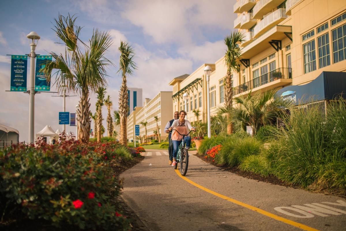
Nearest Town: Virginia Beach
The Virginia Beach Boardwalk is a 3-mile long one-way path that runs astride the shoreline of vibrant Virginia Beach. The main path is 28 feet wide to accommodate crowds but the boardwalk has a separate parallel path for bicyclers. It’s fun to cruise the margin dividing sand and sea from the hotels, restaurants and action that is Virginia Beach. You’ve got to get your picture taken in front of the 24-foot high statue of Neptune. Check out the other nautical sculptures. Not only are bike rentals offered but you can actually join guided bike tour of the boardwalk and adjacent areas.
After the Ride: Check out the Virginia Beach Surf & Rescue Museum. Cast a line at the Virginia Beach fishing pier. Head to Atlantic Fun Park for Go-kart rides and more. Engage in some oceanfront dining at Johnny Mañana's Boardwalk Cafe and Tequileria.
TOBACCO HERITAGE TRAIL
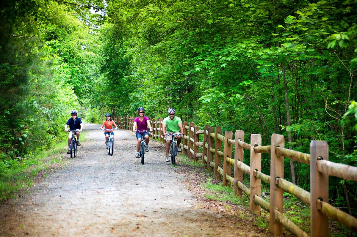
Photo Credit: Kelly J. Mihalcoe
Nearest Town: La Crosse
The Tobacco Heritage Trail is a converted rail trail stretching east-west through small towns, serene farms and rolling woods. Slated to stretch over 40 miles between Chase City and Lawrenceville, the ever-expanding path has some excellent completed segments for you to enjoy. Start your adventure at the large parking area in La Crosse, located just off I-85, then head east on the rail trail into woods and farms. Roll into Brodnax after 4 miles. From there you can backtrack or continue through the small town. Beyond Brodnax, the trail travels 8 miles through lush woods along Evans Creek to the hamlet of Charlie Hope.
After the Ride: Hike or see the history at Occoneechee State Park. Camp at North Bend Campground on Lake Kerr Reservoir, aka Buggs Island Lake. Devour some home style eats at The Love Café in South Hill.
BLUE RIDGE RAILWAY TRAIL
Photo Credit: Avery Skees, @averyskees
Nearest Town: Piney River
This 6.5-mile one-way gem of a trail was once a spur rail lines linking to a rock quarry. The abandoned track was later converted into the rail trail it is today, and is an under the radar rail trail in Virginia. The path starts near the hamlet of Piney River, at the Piney River Depot. It traverses down the Piney River valley for 4 miles to meet the Tye River. The gravel path then continues for a couple of miles along the Tye to the community of Tye River. Turn around and backtrack.
After the Ride: Drive the Blue Ridge Parkway. Hike Mount Pleasant Scenic Area with its fantastic views. Visit Crabtree Falls. Eat at Ann’s Family Restaurant. Visit James River State Park.
RIVERWALK TRAIL OF DANVILLE
Photo Credit: David Hungate
Nearest Town: Danville
The paved Riverwalk Trail presents 9 miles of paved pathway on a trail network that continues to grow. Start out at relaxing Dan Daniel Park, then pick up the paved path running alongside the Dan River in the heart of Danville. You can travel in either direction. Heading northwest, upstream along the Dan, you will pass several bridges crossing the river to downtown. Reach an overlook near the Union Street Bridge after a couple of miles. The trail continues upriver and is being expanded. Leaving the Dan Daniel Park in the other direction, downriver, it is less than two miles to Anglers Park, where a paved track leaves the Dan River north through pleasant woods, intermingled with mountain bike trails. The main Riverwalk continues east beyond along the Dan River, reaching a turnaround.
After the Ride: Take the family on a learning mission at the Danville Science Center. Eat at Me's Burgers & Brews or at the Checkered Pig BBQ and Ribs. Check out the AAF Tank Museum.
DISMAL SWAMP TRAIL
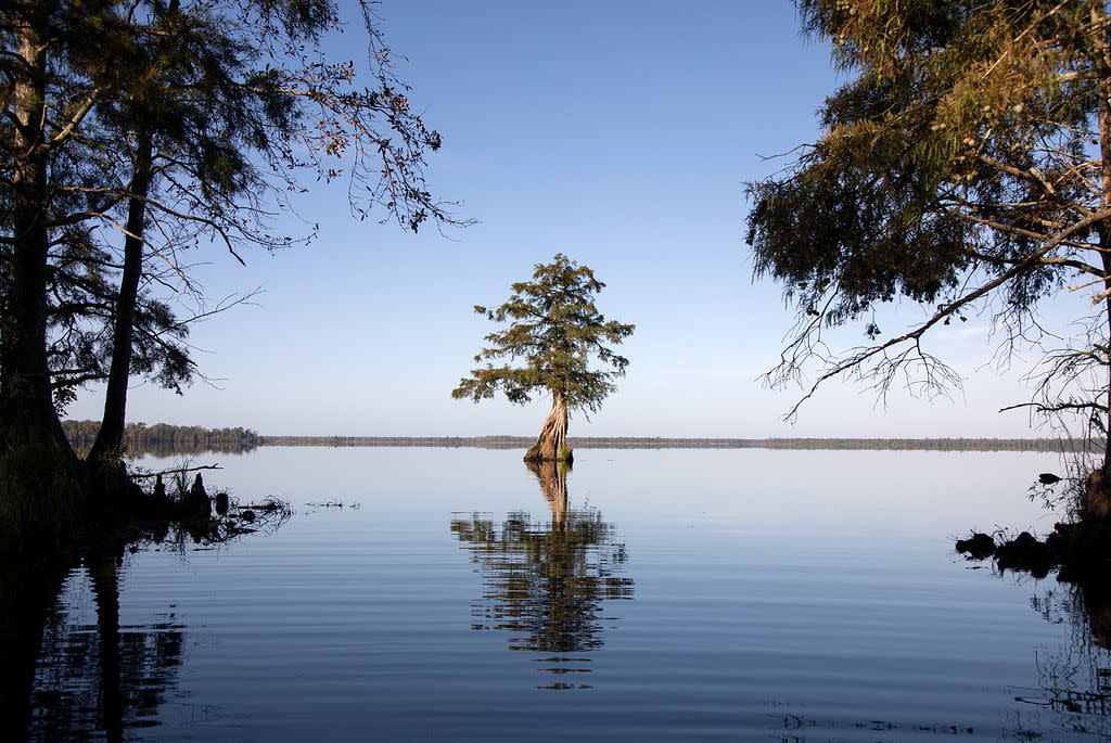
Photo Credit: Trevor Frost, @tbfrost
Nearest Town: Chesapeake
This level and linear trail runs for 8 miles one way along the historic Dismal Swamp Canal. The ride is anything but dismal as you parallel the wildlife-rich canal. The path – marked every quarter-mile -- borders Great Dismal Swamp National Wildlife Refuge. A pair of restrooms are situated along the route. Get a family portrait taken by the statue of “Chessie” the bear at the trailhead.
After the Ride: Head to the Chesapeake Arboretum, admission is free. Grab a meal at La Parrilla Mexican Grill. Visit Blackwater Trading Post on Blackwater Creek. Eat some BBQ and check out the general store, perhaps paddle adjacent Blackwater Creek.
RIVERWALK TRAIL OF LYNCHBURG
Nearest Town: Lynchburg
Lynchburg’s Riverwalk Trail follows the James River past Percival’s Island Natural Area and downriver for 6 miles in one direction in a decidedly rural experience leading away from Lynchburg. Start your ride on the paved path at Washington and Concord streets, where parking is available and bikes can be rented at Bikes Unlimited. From this trailhead you can also follow the Riverwalk Trail upriver through the heart of Lynchburg then join the paved Blackwater Creek Trail. Pass through the Hollins Mill Tunnel and go 3 miles to end at the Cancer Awareness Garden. Part of the pedal traverses the Blackwater Creek Natural Area. On your return ride down Blackwater Creek use the paved Point of Honor Trail.
After the Ride: Visit the Point of Honor 1815 Home. Have a ball at the One Way Out Escape Room. Stop at Amazement Square, an updated educational museum with a climbing tower with slides as well as zip lines. Eat at the Depot Grille on the James River.
BURKE LAKE TRAIL
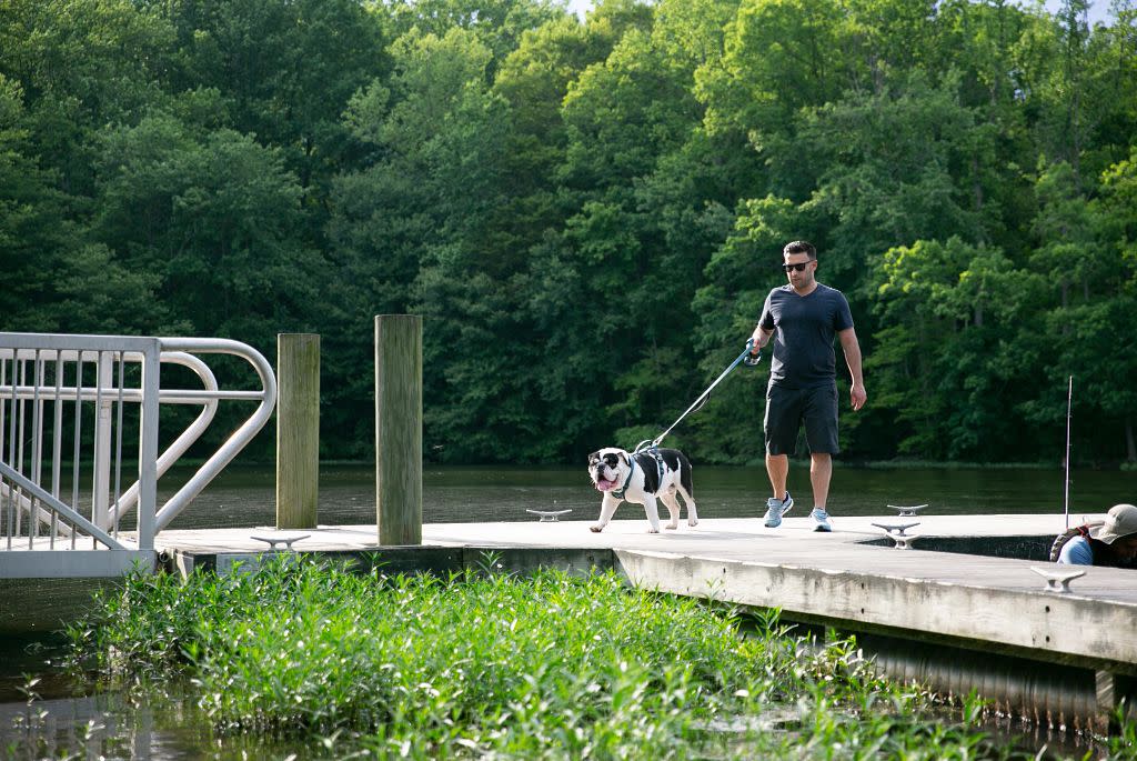
Photo Credit: April Greer
Nearest Town: Fairfax Station
Make your nearly 5-mile loop at Burke Lake Park, a fine full facility preserve with a dizzying array of activities in addition to bicycling. Regularly touted as one of the best fitness trails in America, the mostly gravel path circling Burke Lake makes for a fine family bicycle outing. The pathway curves with the curves of the lake, crossing the dam and visiting quiet coves. Additional activities at the park include disc golf, mini-golf, a miniature train, fishing pier, carousel, and ice cream parlor. You can even camp out here and do it all.
After the Ride: In addition to the activities on-site at Burke Lake Park, eat a pizza at Coal Fire. Grab a treat at The Swiss Bakery & Pastry Shop. Paddle a canoe or kayak at nearby Fountainhead Regional Park.
YORK RIVER STATE PARK
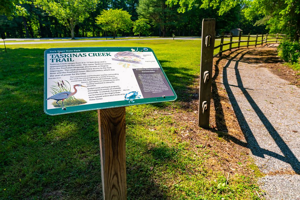
Photo Credit: Jeff Taylor
Nearest Town: Norge
Conveniently located off I-64 east of Richmond, York River State Park presents around 20 miles of trail open to bicyclers. Most of the paths are natural surface but don’t let that deter you, since the park trails are generally not steep. Consider starting on the Backbone Trail, a mostly level track that links to other park paths. The Backbone Trail alone makes a 5-mile there and back, but it is easy to increase your mileage. I recommend adding a short loop including the Whitetail Trail and the Dogwood Lane Trail. There are also specific trails dedicated to mountain biking only in addition to the above trails.
After the Ride: Paddle the York River. Head to Go-Karts Plus for some racing. Have a burger at Jimmy’s Oven and Grill.
RIVERWAY TRAIL
Nearest Town: Radford
Radford is located on the big and famous New River. Start your ride at Bisset Park, where bikes are available for rent from Tangent Outfitters. Following the trail upriver, you will leave Bisset Park, making your way on the paved path to Veterans Park and Dudley’s Landing, a wildlife viewing area. Trace a bend in the river and this segment ends after 2 miles. Backtrack two miles to Bisset Park then follow the paved path up Connellys Run. The trail tunnels under West Main Street to enter Wildwood Park. Roam through the greenspace bridging Connellys Run and onward to Wadsworth Street for 3 more miles of out and back bicycling.
After the Ride: Float down the fabulous New River. See a first-run movie at the vintage Radford Theater. Visit the Glencoe Mansion, Museum and Gallery. Order a pizza from Benny Nicola's.
Virginia Capital Trail
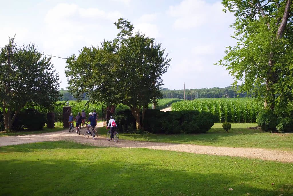 Photo Credit: Big Orange Frame
Nearest Towns: Richmond, Charles City, Williamsburg
The Virginia Capital Trail -- over two decades in the making -- is now finished. The paved, signed and well cared for path courses through the lower James River Valley, linking Richmond to Williamsburg, and connecting smaller communities in between. The completed trail offers 52 miles of pedaling pleasure.
Explore Virginia’s earliest colonial history on this 13.4-mile out and back pedal. Start your adventure at Jamestown Settlement, a living history museum adjacent to the site of the first successful English settlement in the new world. The trail does parallel two-lane VA Highway 5 in places. However, a vegetational screen between the path and the road does wonders for the ride. Initial segments traverse fields. A host of historical markers vies for your attention. Chickahominy Riverfront Park makes a good turnaround point, where the Chickahominy River and Deep Creek flow together before meeting the James River.
Rent bikes from James City County Marina, formerly known as Eco Discovery Park, located at the eastern trailhead.
After the Ride: Complete your historic bike ride with a meal at the Old Chickahominy House in nearby Williamsburg. Enjoy some good ol’ Southern cooking amid an antique store. The eatery, specializing in ham biscuits, offers a complete menu and has been an area classic since 1962. Also, visit the Jamestown portion of Colonial National Historical Park, the place where the first representative assembly in the New World took place, among those intrepid settlers who founded Jamestown.
Belle Isle State Park
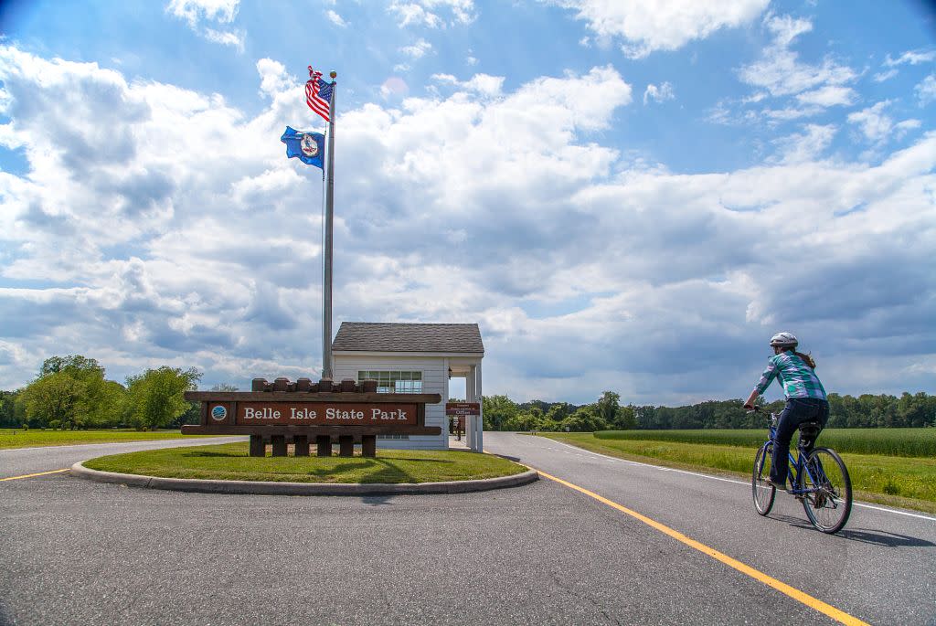
Nearest Town: Warsaw
The park is located on Virginia’s Northern Neck, a peninsula of land in northeastern Virginia between the Rappahannock and Potomac Rivers, so water is always nearby. A 10-mile network of trails -- most of them gravel doubletrack paths ideal for casual bicyclists -- course through the park, a land bordered by the tidal Rappahannock River and its tributaries. The park as a whole is very quiet, so you can add bicycling paved park roads to the trail system. Pedal by wetlands galore, overlook waters bordering the park, or fields and forests.
Start your 8-mile trek at the bike rental area, then head down Creek Landing Road to pedal the Mulberry Creek boardwalk and get up close with the water. Next, take the Mud Creek Trail to the Watch House Trail, passing wetlands and woods. Head out to the Neck Fields Trail to Brewers Point, enjoying more aquatic vistas. Backtrack, then take the Porpoise Creek Trail to a wildlife blind. Scan for blue herons and osprey. Stop at the picnic shelter nearby and overlook the breadth of water and beach below.
Rent bicycles at the park by the hour or by the day. Pedal directly from the rental area and tour the park.
After the Ride: Consider camping at Belle Isle State Park. It features a spacious campground with 30 sizeable sites, each camp complete with water and electricity. Gravel pads are good for tent campers and the large sites suit RVs. On the other hand, you could stay at the Bel Air Guest House, a park dwelling with a maximum capacity of 8 guests. Enjoy the leisurely pace of the park, explore all the trails and perhaps even rent a canoe or kayak, adding an aquatic aspect to the adventure.
New River Trail
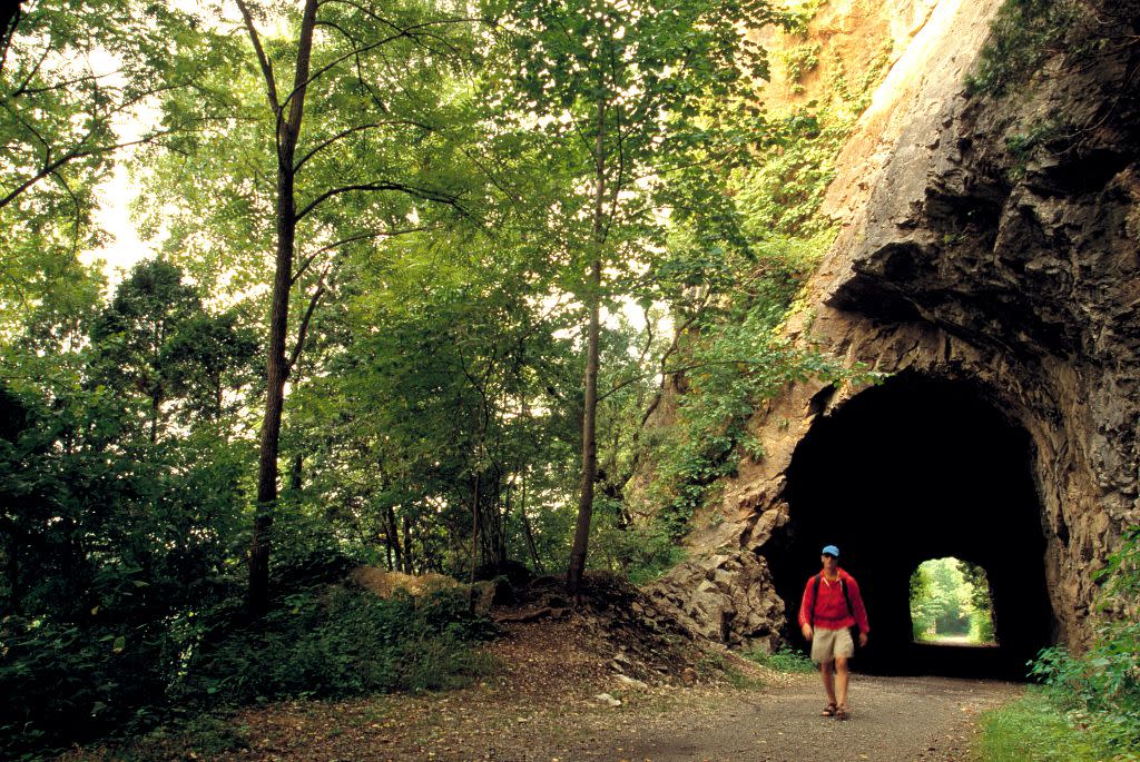 Photo Credit: Keith Lanpher
Nearest Towns: Pulaski, Galax
The New River Trail is Virginia’s longest state park, a path extending over 57 miles. The rail trail courses along a cinder bed and over trestles that span Chestnut Creek and the New River. Occasional rapids and riverside bluffs satiate the visual palate. Pass through a 200-foot tunnel, adding mystery to a great trail. The trailside is generally forested, though is more open between Foster Falls and Pulaski, where you pass Claytor Lake, an impoundment of the New River, and location of a fine Virginia State Park.
Make a 14-mile there and back adventure on the New River Trail. Start at Foster Falls, where a state park campground, historic village and gorgeous river scenery are located. Head along the New River toward Austinville. After 1.5 miles, you will pass the historic Shot Tower, where lead bullets were made during early Virginia history. Enjoy more riverside scenery after passing under I-77. Have a picnic at the Austinville access. Ahead, pedal through an old railroad tunnel, adding to the ride. Next comes a high trestle where you can gaze down on the New River. Ahead, reach the Ivanhoe trail access, a good place to turn around, then pedal back to Foster Falls.
Rentals available in Galax, Claytor Lake State Park, Foster Falls near Austinville and Pulaski. Rent at Foster Falls, part of New River State Park, for recommended ride. They offer one-way bike shuttles, too.
After the Ride: Overnight at Millrace Campground at Foster Falls. The camp is in excellent condition. Be apprised: this is a tent only campground. There is much to do here: fish for walleye, bass and bream, swim, tube, or paddling. A livery offers tubes, canoes and kayaks for rent. On summer weekends, the equestrian livery is open for business, enabling you to ride the rail trail atop a horse! It is all part of the great New River Trail State Park experience.
Virginia Creeper Trail
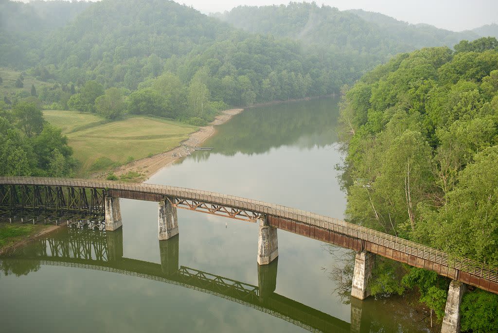
Photo Credit: Cameron Davidson
Nearest Towns: Abingdon, Damascus
The 34-mile Virginia Creeper Trail starts high in the mountains then descends along Whitetop Laurel Creek in rich woods and highland streams to reach the trail town of Damascus, a fun place to visit. The Creeper then wanders past South Holston Lake and through field and woods to end at historic Abingdon.
Rent your bike in Damascus then get a shuttle to the top of the Creeper Trail at Whitetop Station. From there it is a 17-mile nearly continuous downhill back to Damascus, doable by even the most casual of bicyclers. The mountain scenery is fantastic and you will gain enjoyable looks at the cascades and pools of Whitetop Laurel Creek, crossing many trestles above the crashing waterway.
Bike rentals available in Damascus and Abingdon.
After the Ride: Take a stroll down Damascus’ main street -- Laurel Avenue -- and stop at the iconic Mount Rogers Outfitters, an outdoor store catering to Appalachian Trail thru-hikers. The outfitter has character and is usually full of colorful trail characters. Then slide around the corner and grab a bite at Mojo's Trailside Cafe & Coffee House.
Washington & Old Dominion Trail
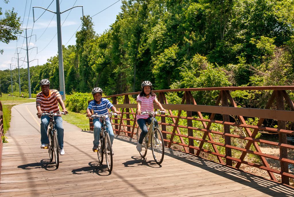
Photo Credit: Christopher Hunter
Nearest Towns: Leesburg, Arlington
The W&OD, as it is known, is a paved 9-foot wide path tracing a railroad grade. Near Arlington, it is an urban experience, and becomes more rustic the farther west you go. Over a dozen trailheads make accessing the 45-mile track easy.
Start on the W&OD Trail’s west end at Purcellville’s old train depot. Head east through the small town under shady trees. Open into fields and woods before making your way to the hamlet of Paeonian Springs, about 6 miles one way, making a 12 mile round trip back to Purcellville. It is another mile to Clarks Gap, and the trail’s high point, about 60 feet above the trail elevation in Purcellville, making a 14-mile bike ride.
Bike rentals are available at Trail’s End Bikes in Purcellville, as well as in Herndon, Leesburg, and Reston.
After the Ride: Magnolia’s at the Mill offers American dining next to the train depot trailhead in Purcellville. For a more casual down home experience head to the Purcellville Family Restaurant.
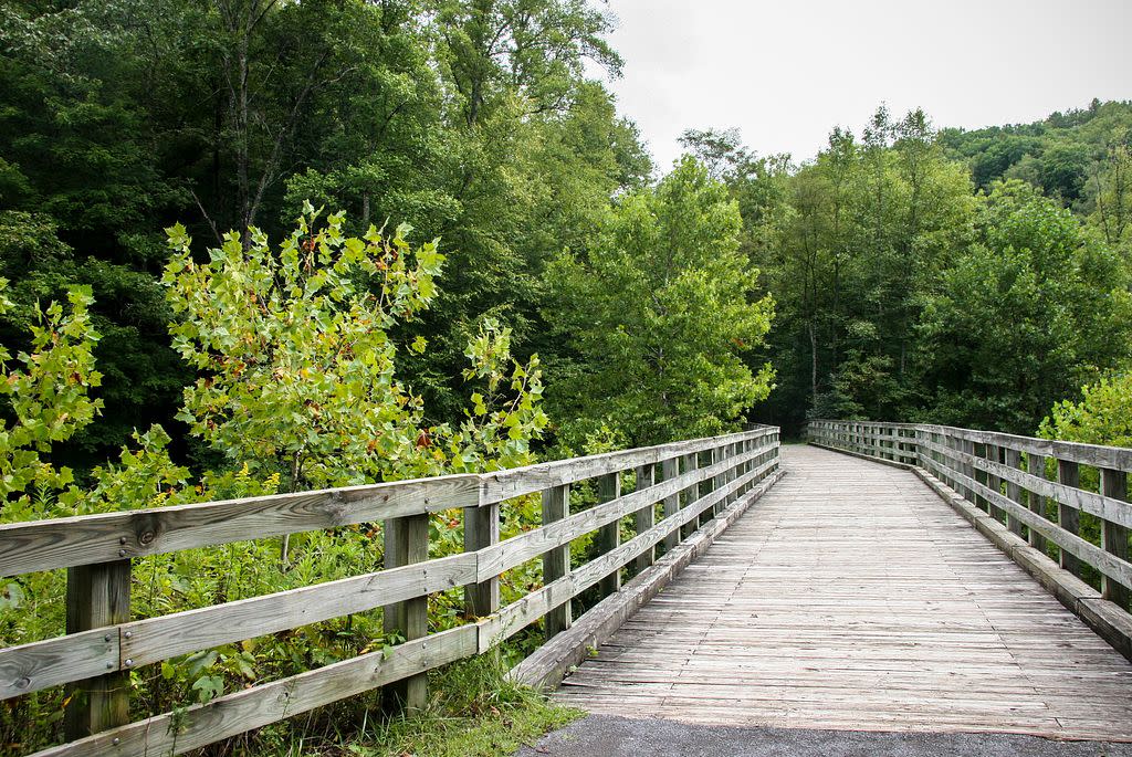
High Bridge Trail
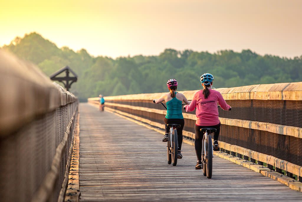
Nearest Towns: Pamplin City, Farmville, Burkeville
The 31-mile High Bridge Trail travels roughly east-west between Pamplin City and Burkeville with the trail’s namesake High Bridge stretching over a half-mile over the Appomattox River and 125 feet above the waterway, delivering a thrilling ride. It is one of the longest recreational trail bridges in the United States. Multiple trailhead accesses and picnic areas enhance the High Bridge experience.
It is hard not to want to see the park’s namesake – High Bridge, so go ahead and do it. It is a little less than 5 miles one-way to the span from Farmville, making a 10-mile there and back adventure. If you want to extend the trip, continue another 3 miles from High Bridge to Rice, creating a 16-mile there-and-back run. Not only are the views stellar from High Bridge but you can picnic on either side of the span. The historical component is significant as well. The Battle of High Bridge was Robert E. Lee’s final conflict before heading to Appomattox Court House to surrender to General Grant.
Rent a bike by the hour or for a full day at High Bridge Bikes in Farmville. Bike reservations are available ahead of time.
After the Ride: Charley’s Waterfront Café is a stone’s throw from the trailhead in Farmville. Grab a table on the deck overlooking the Appomattox River, enjoy a meal. Serving breakfast, lunch and dinner. They offer a kid’s menu as well.
Mount Vernon Trail
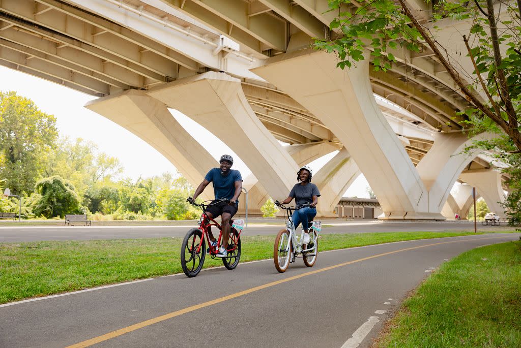
Photo Credit: Dayo Kosoko for @visitalexva
Nearest Town: Alexandria
The trail runs 18 miles to Mount Vernon, passing many sights along the way, including Arlington Memorial Cemetery, Theodore Roosevelt Island, picnic areas, and wildlife preserves. Enjoy a multitude of Potomac River views. The Mount Vernon Trail connects to other paths, including bicycling venue Potomac Heritage Trail.
It is 10 miles one way from Alexandria to Washington’s estate Mount Vernon, making a 20-mile there-and-back trip. Pass the Jones Point Lighthouse, Belle Haven Park, and Dykes Marsh Wildlife Preserve, then Fort Hunt Park. If 20 miles is a bit long for you and the family, cut it short, allowing enough energy to make the return trip.
Big Wheel Bikes in Alexandria has bike rentals available.
After the Ride: Tour Mount Vernon. Visit George Washington’s estate for an iconic Virginia experience.
Newport News Park Bikeway
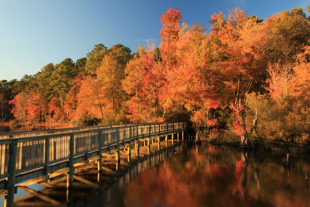 Photo Credit: Vicki Mueller, @vicki_l_mueller
Nearest Town: Newport News
The Newport News Park is one of the largest municipal parks in the United States, and the 5.3-mile loop trail is just one of over 30 miles of trails at this park. While the bikeway is not paved, it is well maintained, making for a smooth ride. It traverses rich woods through the 7,000-plus acre park. Part of the trail connects to the George Washington’s Headquarters at the Battle of Yorktown, a portion of Colonial National Historical Park. Here you can extend your ride if you please, on one of the tour roads (You will share the road with cars and pedestrians here, however, speed limits are low). The Battlefield Tour Route is 7 miles, while the Encampment Tour Route is 9 miles. However, the interconnected nature of the battlefield roads makes shortening your route easy.
It is fun and easy to make the 5.3-mile bikeway loop, so after your ride, add other park activities to the agenda. Newport News Park is one of Virginia’s most attractive and well-maintained urban preserves. The Newport News Park Bikeway showcases much of the park. Within this large multi-purpose preserve is the site of the Battle of Dam No. 1, a designated stop on the Virginia Civil War Trails tour. This Civil War battle site is also on the National Register of Historic Places. The hiker trail system overlain on the battlefield is scenic and comprehensive. Allow time to enjoy the facilities at Newport News Park, including additional trails, an archery range, playgrounds, picnic areas with shelters, a fine campground with electric and non-electric campsites, an arboretum, history exhibits, nature programs, golf courses, even 30-acre model airplane field.
Rent bikes at the park’s campground office.
After the Ride: Head over to Yorktown. Even if you do not tour the American Revolution Museum at Yorktown, stop by the Yorktown Pub, overlooking the Yorktown River, to enjoy burgers, salads and seafood.
Roanoke River Greenway
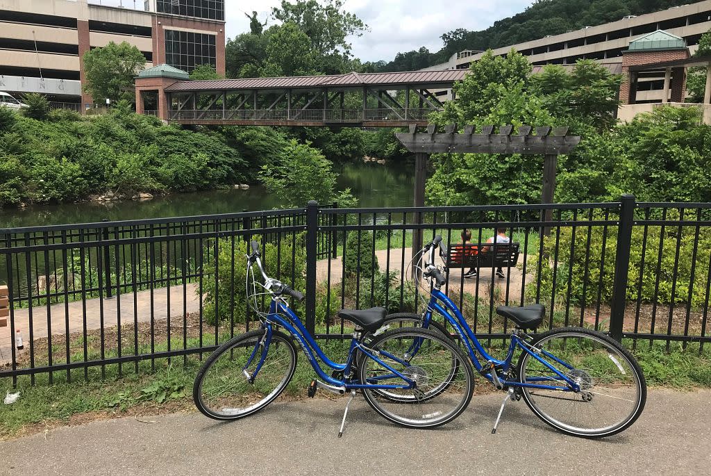 Nearest Town: Roanoke
This paved path parallels the Roanoke River through downtown Roanoke. The greenway will stretch 10 miles one-way when completed, yet a 7-mile long section can currently be pedaled from Ghent Park to Fallon Park, also incorporating the Tinker Creek Greenway.
Start your pedal at Vic Thomas Park off Winchester Avenue. Soon pass Roanoke Mountain Adventures bike shop. Cross the river on trail bridges. Continue along the river in the shadow of famed Mill Mountain and the Roanoke Star (You can even take the Mill Mountain Greenway to the crest of Mill Mountain but it takes some serious leg power). Turn up Tinker Creek on the Tinker Creek Greenway to end at Fallon Park, making for a 14-mile there and back trek. Trail accesses on the Roanoke River Greenway can be found at Smith Park, Wasena Park, River’s Edge Complex South and Fallon Park. The route gives you a real taste of the heart and soul of the city.
Rent bikes from Roanoke Mountain Adventures, and ride from the shop and jump directly on the Roanoke River Greenway.
After the Ride: The Wasena City Tap Room and Grill is located near Vic Thomas Park, directly off the greenway in an historic brick building. Enjoy salads, tacos, burritos and hot dogs. Digest by taking a drive up to the Roanoke Star atop Mill Mountain. Grab a view of downtown Roanoke, framed in Appalachian mountain splendor.
Guest River Gorge Trail
 Nearest Town: Coeburn
This rail trail combines history and natural beauty in the rugged mountains of Southwest Virginia. First pass through the Swede Tunnel, then cross the Guest River – a Virginia State Scenic River -- on a high bridge. Continue down the cliff and bluff rimmed canyon, viewing giant streamside boulders. Pass your first waterfall, then come to a stair-step cascade, set in a rock-rimmed glen, before the trail’s end at the where the Guest River meets the Clinch River.
Since the trail is 5.9 miles long one way, you might as well do the whole thing, making for an 11.8-mile, there-and-back endeavor. There is plenty to see along the way, including tan cliffs, waterfalls formed where tributaries drop into the Guest River, big boulders, streamside pools and shoals. Alluring forest grows wherever rock and trail are not. Huge boulders, fallen from the surrounding cliffs, stand firm in the waterway. Moreover, where the gorge walls were a little too close, the railroad makers blasted it back, creating a passage for the trains, and now for you on the Guest River Trail. Contemplation benches have been placed at the most scenic locales and are cues for stopping. Old railroad line mile markers keep you apprised of your whereabouts on the path.
After the Ride: Drive into Coeburn and hit the Frosty Bossie for a tasty milkshake or dessert. They offer a full dining menu, too, from breakfast to soups and salads. Grab a double cheeseburger as a reward for pedaling the Guest River Gorge Trail.